WIRELESS CHARGING IN THE NEWS
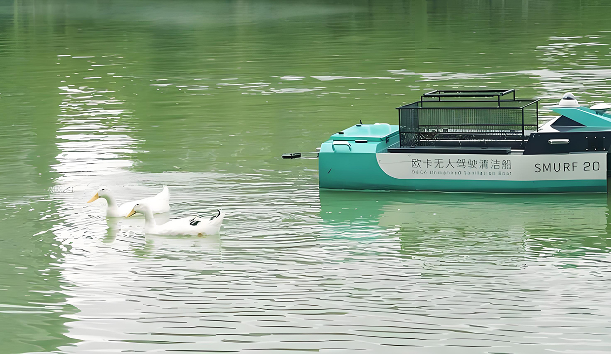
The depths of the ocean have long been a human dream of exploration, and with the advent of unmanned survey ships, this dream is gradually becoming a reality. With this advanced equipment, we are able to map underwater topography with unprecedented accuracy and efficiency, providing the necessary data support for Marine engineering, environmental protection, resource development and other fields. The unmanned survey ship is not only an upgrade of the traditional survey ship, it also represents a breakthrough in the field of underwater surveying and mapping with automation and intelligent technology. It can complete complex underwater detection tasks without human intervention, and send data back in real time, giving scientists and engineers a broader vision.
Unmanned survey ships typically have an array of sophisticated sensors and navigation systems that allow them to navigate autonomously in waters such as the sea or rivers. With sonar equipment on board, it can go deep into the water to conduct detailed terrain surveys, detecting seafloor structure and hydrological information that is difficult to reach with conventional methods. Compared with traditional surveying and mapping methods, the advantages of unmanned surveying and mapping ships are not only reflected in the accuracy, but also greatly improve the work efficiency, especially in the vast waters, traditional ships need to consume a lot of manpower and material resources, while unmanned ships can work continuously for several hours or even days, greatly saving costs. This unmanned mode of operation frees up manpower and allows mapping work to be carried out in harsher and more complex environments.
As a long-term autonomous navigation equipment on the water surface, the energy supplement of the unmanned surveying and mapping ship has become the key to its continuous operation. In order to ensure the continuity and efficiency of the mapping work, the choice of charging mode is extremely important. At present, unmanned surveying and mapping ships mainly rely on two charging methods: autonomous charging and solar charging.
The autonomous charging mode means that when the ship is working, it can automatically return to the base station or charging dock for charging when the power is about to run out through the preset path or navigation system. Usually, the base station is equipped with a special charging device to replenish the ship's energy via wireless or wired means. Autonomous charging is suitable for those unmanned surveying and mapping ships that need to complete tasks within a specific period of time, especially in the tasks along the coast or inland rivers, the presence of the base station can ensure that the ship receives regular energy replenishment, and avoid interrupting the task due to insufficient power halfway.
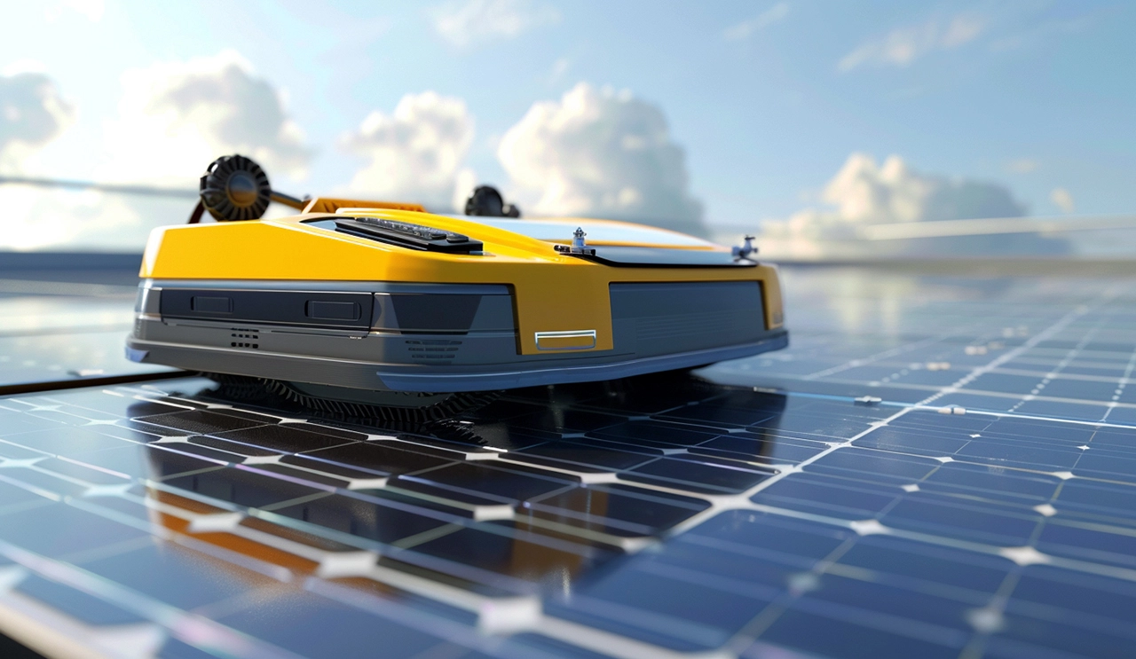
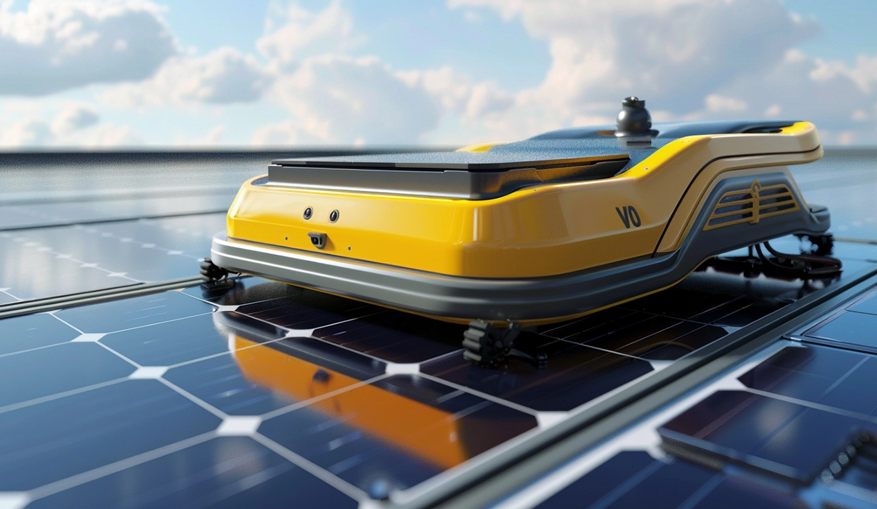
However, for those who need to work for a long time on the vast ocean unmanned survey ship, solar charging becomes a more ideal choice. By installing solar panels on the surface of the hull, the ship can automatically absorb sunlight during the day, convert it into electricity and store it, ensuring that the equipment can continue to operate at night or on cloudy days. Although the efficiency of solar charging will be reduced in rainy days, in most cases, this way can greatly extend the endurance of the unmanned survey ship, especially in the long-term mission at sea, the self-sufficiency of solar energy allows the ship to get rid of the dependence on land charging stations. The advantage of this approach is that it maximizes the use of natural resources and reduces the need for human intervention, while also providing a viable solution for future environmentally friendly ocean exploration.
The two charging methods have their own application scenarios and advantages, autonomous charging is more suitable for short-term, regional mapping tasks, and solar charging provides unlimited possibilities for long-distance, long-term maritime mapping. In the face of an increasingly complex Marine environment, mapping tasks often need to be carried out for a long time, so an increasing number of unmanned mapping vessels have begun to adopt a hybrid charging mode, which can both use solar energy to maintain daily operations, but also be able to return to the base station to recharge when necessary. In the future, with the continuous improvement of battery technology and the optimization of charging methods, the endurance capacity of unmanned surveying and mapping ships will be further improved, bringing more powerful technical support to the global ocean exploration and protection cause.
Unmanned survey ship is undoubtedly an important tool for future ocean exploration, it not only represents the forefront of science and technology, but also reflects the wisdom of harmonious coexistence between human and nature. Whether it is autonomous charging or solar charging, these intelligent means will push the unmanned survey ship to go further and deeper, opening up more unknown areas for us about the ocean world.


